Module
Topoplan
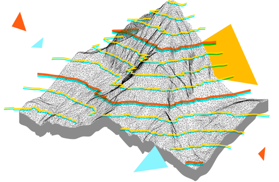
nanoCAD’s Topoplan module extends the nanoCAD platform with tools for digital terrain modeling and documentation. It is designed to make the work of surveyors more efficient.
System requirementsBuy Now Free Trial
What you get
Comprehensive Tool Set of nanoCAD platform
nanoCAD platform provides you with a full set of basic and advanced design tools for creating and editing 2D/3D objects. It offers multiple drawing and editing methods for most geometric elements. nanoCAD platform is the base on which you build a more powerful CAD system to your specifications.
A convenient and practical tool for a survey engineer
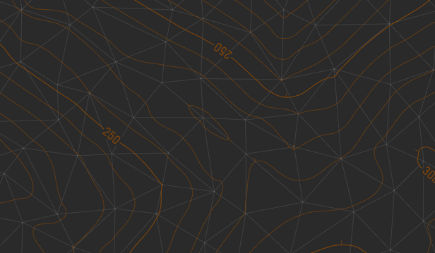
Topoplan Module converts nanoCAD Platform to an engineering solution for creating a digital terrain model and preparing topographic plan drawings.


